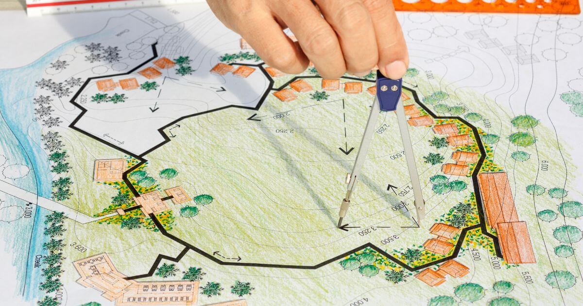
One of the biggest factors that can impact the value of a land parcel is what’s planned around it, not just today, but in the coming years.
A parcel that looks “empty and quiet” today might be located right next to a future highway, residential expansion, or commercial development.
Understanding upcoming development plans can help you avoid bad deals and identify high potential opportunities early.
Why Future Development Matters
When evaluating land, most investors focus on current conditions: access, slope, flood zones, and nearby amenities.
But future development can change everything:
- New roads can dramatically improve access and increase value
- Residential expansion can drive demand and raise prices
- Industrial or commercial projects may negatively impact desirability
- Zoning changes can unlock (or restrict) potential uses
In many cases, the biggest upside comes from buying before development happens, not after.
1. Check County Planning & Zoning Departments
The most reliable source of future development information is the local county planning department.
Most counties publish:
- Comprehensive Plans (long-term vision, usually 10–20 years)
- Zoning maps and future land use maps
- Approved development projects
Search for: [County Name] planning department future land use map
To make things easier, we’ve included several real examples in the table below.
For instance, you can explore official planning resources like the Putnam County Planning & Zoning Department page.
These pages typically include comprehensive plans, zoning maps, and future land use maps that help you understand what is planned for the area.
This will show whether the area is designated for residential, commercial, agricultural, or industrial use.
Here are examples of official county planning and zoning pages where you can find future development data:
| County | State | Planning Page | What You’ll Find |
|---|---|---|---|
| Putnam County | Florida | View Page | Future land use maps, zoning information, and development regulations |
| Mohave County | Arizona | View Page | Zoning, planning services, land use, and development resources |
| Elko County | Nevada | View Page | Planning and zoning information, master plans, and development resources |
| Benton County | Arkansas | View Page | Planning regulations, land use information, and development guidelines |
| Teller County | Colorado | View Page | Zoning regulations, land use planning, and development guidelines |
| Luna County | New Mexico | View Page | Planning, zoning, permits, and community development resources |
This will show whether the area is planned for residential, commercial, agricultural, or industrial use.
2. Review GIS Maps and Layers
Many counties provide GIS (Geographic Information System) tools with multiple data layers.
Look for layers such as:
- Future land use
- Planned roads and infrastructure
- Zoning overlays
- Subdivision plans
Some counties also show approved building permits or active development applications.
3. Look for Transportation & Infrastructure Projects
Roads, highways, and infrastructure projects can significantly impact land value.
Check:
- State Department of Transportation (DOT) websites
- Local transportation improvement plans (TIP)
- Planned highway expansions
A new road nearby can turn a hard to access parcel into a highly desirable one.
4. Search for New Construction and Permits
New development activity is often visible through permits and applications.
Look for:
- Subdivision applications
- Building permits
- Rezoning requests
Even a few nearby permits can indicate that an area is starting to develop.
5. Use Satellite Images to Spot Trends
Tools like Google Earth can help you identify growth patterns over time.
Check:
- Are new roads being built?
- Are nearby areas being cleared or developed?
- Is construction moving closer to your parcel?
Comparing historical imagery can reveal trends that official plans may not yet reflect.
6. Contact Local Authorities or Realtors
Sometimes the fastest way to get useful insights is simply to ask.
Consider contacting:
- County planning offices
- Local real estate agents
- Land investors active in the area
They may be aware of upcoming projects that are not yet fully published.
7. Watch for Red Flags
Not all development is positive.
Be cautious if you find:
- Planned landfills or industrial zones nearby
- Highways or noisy infrastructure too close to the parcel
- Zoning changes that restrict building
Future plans can decrease value just as easily as they increase it.
Final Thoughts
Checking future development plans is one of the most overlooked steps in land due diligence, but it can make a major difference in your investment outcome.
Instead of evaluating a parcel based only on current conditions, take the time to understand what the area will look like in 5, 10, or 20 years.
The best deals are often found where development is just beginning.